
Drone Volume Surveys
Priceon applicationStockpile, dam and earthworks volumes, measured from the air.
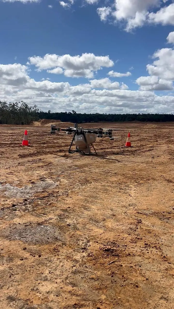
Know exactly what you've got
Using our mapping drone, we measure stockpiles, earthworks and dam capacity quickly and accurately, without anyone walking the pile. Repeat surveys let us reconcile year-on-year changes, showing what's been used, added or moved, so stock counts and end-of-year figures are backed by real data.
- Stockpile volumes (gravel, soil, mulch, grain, fertiliser, quarry product)
- Dam capacity and earthworks cut/fill
- Year-on-year reconciliation reports
- Fast turnaround with no disruption to operations
Working on a rehabilitation project? We also provide drone mine site rehabilitation, with experience on rehabilitation sites in the Bowen Basin.
Frequently asked questions
What can a drone volume survey measure?
Stockpile volumes (gravel, soil, mulch, grain, fertiliser and quarry product), earthworks cut and fill, and dam capacity.
What do I get from a volume survey?
Measured volumes, and with repeat surveys, year-on-year reconciliation reports showing what's been used, added or moved. Talk to Troy about the format you need.
How are volume surveys priced?
Volume surveys are priced on application. Tell us what you need measured and where, or call Troy on 0428 677 637.
More drone services
Combine spraying, fertilising and seeding on the same trip.
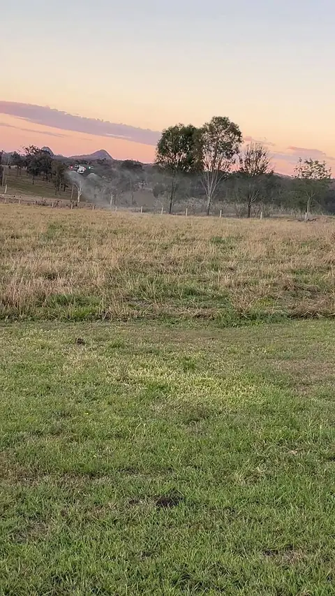
Weed Spraying
Broadacre and spot spraying, fully GPS-guided.
More on weed spraying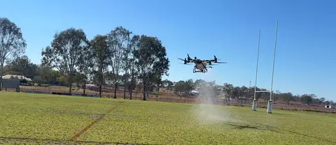
Aerial Fertilising
Even, accurate coverage across every paddock.
More on aerial fertilising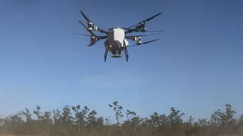
Drone Seeding
Fast, precise seeding at scale.
More on drone seeding
Mine Rehabilitation
Pasture, tree and native seed and fertiliser spreading on mine sites.
More on mine rehabilitation
Heavy Lift
Where trucks and trailers can't go.
More on heavy liftBook a volume survey
Tell us what you need measured and where.